Section 5
The main change here is that I’ve rerouted the Trail between Traquair and West Linton to follow the Cross Borders Drove Road. You can still follow the old route if you want, but I’ve not checked it out myself recently.
Day 40 – Jedburgh to Melrose
- Map 3: There is no longer a cafe at Bowden.

Day 41 – Melrose to Traquair
- Map 1: The railway has now reopened, but the cycle path is still open, alongside the railway and across the river. It’s a bit ugly.
- Map 3: The Minch Moor Bothy has been demolished and taken away. The fenced enclosure just before this has gone too.
- There is still a B&B at Traquair, and a campsite and more B&Bs in Innerleithen.
Day 42 – Traquair to West Linton
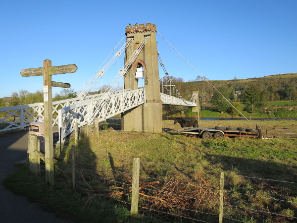
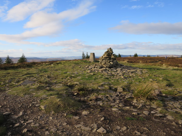
- I have rerouted this stage for the new edition, and I haven’t checked the old route is still usable. I do know that the short cut through Kailzie Gardens is no longer possible, so you will have to go round by road if you go this way. The rest of it is probably still walkable, but I haven’t been back to check. The new route is along the waymarked Cross Borders Drove Road, which is marked on recent OS maps. There is an easier but less interesting alternative for the first section along the new tarmac cycle track from Innerleithen to Peebles, following the old railway line.
- If you follow the Cross Borders Drove Road it is mostly easy enough to follow as long as you can follow a 1:25000 OS map. Places to watch out for are:
- 1 km after you leave the tarmac from Traquair you reach a forest corner at GR 295341. Don’t take the path straight on: it doesn’t yet join up with the path you need to find. Instead, turn left here, and just before you reach a gate turn right up a path that leads you up the hill without problems.
- 1 km after Courhope, at GR 194460, you need to turn right off a forestry road on a narrow path into the trees. This is easy to miss.
- You can of course follow the road from the A701 to West Linton, but the Cross Borders Drove Road takes an off-road route for the first part of it. There are two points to note along this bit:
- At GR 172503 where you leave a fenced path to enter a field you will see a track ahead going left towards the end of a line of trees. Either ignore this and turn left (pathless), or follow the track as far as the end of the line of trees then look out for an old track forking left off the main track, and take this. The main track does not go the way you want to go.
- For part of the way the waymarking follows a different route from that shown on my OS map. The waymarked route works fine. This runs from GR 170505 to GR 167508 along the right edge of two fields, through a gate, then left along the left edge of a field to go through a gate and turn right at GR 165506, now back on the line on the OS map.
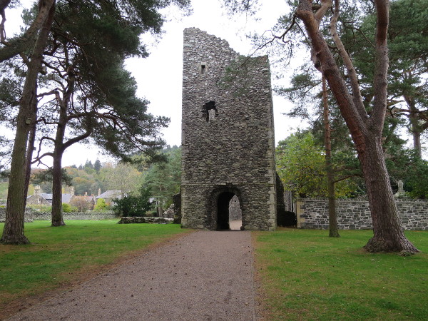
Day 43 – West Linton to Linlithgow
- From West Linton to Little Vantage the old route follows the same route as the Cross Border Drove Road, which ends at Little Vantage.
- There is now a stile at Little Vantage giving access to Corston Hill, and a path from here. It doesn’t go up the hill, but it’s worth following it over two bridges before cutting up the hill on 310 degrees.
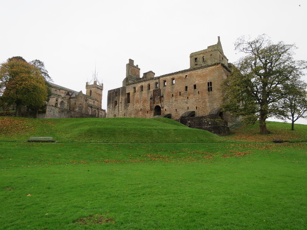
Day 44 – Linlithgow to Kilsyth
- I can recommend Twechar Farm B&B (just beyond Kilsyth). There is a fully-equipped kitchen you can use, so you can cook your own food if you want to. You pass a supermarket at Redding (Day 44 Map 1), which is more convenient than climbing the hill to the shops in Kilsyth.
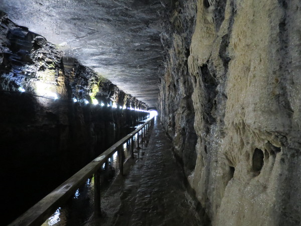
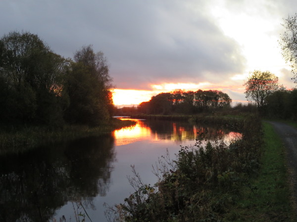
- Forth & Clyde Canal, near Kilsyth
Day 45 – Kilsyth to Drymen
- Map 2: The route along the old railway from Strathblane to Dumgoyach has become overgrown, and I have rerouted this bit for the new edition along the John Muir Way, which meets the West Highland Way at Carbeth. This is waymarked and shown on recent OS maps. It is easy to follow, and I’d recommend taking this route.
Day 46 – Drymen to Inverarnan
- If you are thinking of wild camping anywhere along this section, you need to be aware that in many areas this is illegal without a permit. Visit lochlomond-trossachs.org for the full details. The wild camping area in the forestry above Drymen is not in the controlled area, but the official wild camping area at Rowardennan is, so don’t use it unless you have a permit.
Day 47 – Inverarnan to Bridge of Orchy
- Accommodation at Bridge of Orchy is now very limited. There is one B&B, and there are camping pods. The pods sleep two, and unless you can find someone to share with you will have to pay for the whole pod. There is wild camping by the bridge, or you could stay at Tyndrum instead.
